Day 23. Randy, my nephew from Michigan, arrived on Monday and we got him moved in on the boat after checking out of the hotel in Sioux City. We needed groceries and ice especially, so we took a cab to Walmart and loaded up. We gained some tips on how to get along with the channelized river from fellow boater Kevin and his group at the local riverside bar, had some supper, and went to the boat and bed.
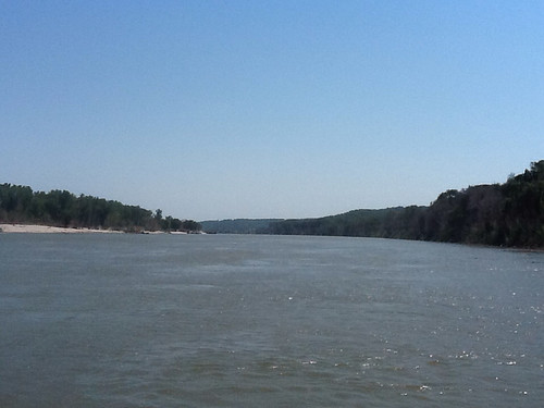
Day 24. Stocking up on ice again, since South Dakota summer was in full swing, we pulled out into the river and began to see what a river with predictable channel and depth is like. What a wonderful difference! The Army Corps of Engineers (ACE) maintains a channel that is at least nine feet deep and typically about 300 feet wide, unless there is need to restrict it in a spot. The ACE channel follows strictly the way the river will naturally flow. It will pretty much always round a turn following the outer, or concave, bank and continue following that shore until the river turns the other way. Then the channel will naturally cross to the other bank and follow the curve around that way. The water thus follows the path of least resistance, going straight until it is forced to follow a curve.
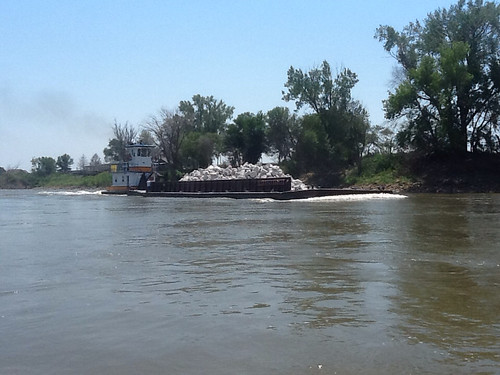
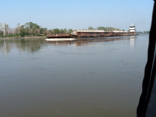
So the ACE folks will dredge that channel if/where needed, and they have wing dams coming out from the shallow side of the river, to push the water over into the channel and keep it "flushed out" and flowing swiftly. Wing dams or dikes are walls of rocks running part-way across the river from the bank. We saw a few towboats hauling rock upstream for ACE, to repair the wing dams and retaining walls damaged by last year's flood.
Fortunately this year the water level is low enough that we could clearly see the wing dams, so were not likely to run over one and break the motor. The current at this point was going about six miles per hour, we estimated.
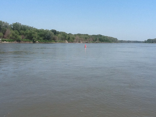
We found that using day marks on the shore and buoys in the water that guided crossings, we had little trouble staying in the channel, which varied from 12 to 25 feet deep. There was one scare in the afternoon when we found a snag -- a tree stuck on the bottom in the middle of the channel -- and had to work around it on both sides to find good water. There were but two surprises of this type, though, and otherwise the deep water was easy to follow. We tied off at a boat ramp in a recreation area featuring an outhouse (always a nice touch), had supper and turned in for a quiet night's sleep.
Day 25. We met Rich Porter in the morning when he launched his flat-bottom fishing boat, and discussed the river. He is a bow fisherman, hunting carp with a specialized bow and arrow. He said that the Asian carp, which become quite large, eat all the food on the bottom that is needed by the fry of other species, and are starving all the other fish out. So progressively the carp are taking over the Missouri River. We would hear more about the carp as the trip progressed.
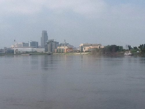
As the day heated up we got underway, and made a fast run to Omaha, NE, pulling into the Dodge Park Marina there. I called and got instructions from the marina superintendent, Mark Smith, and we tied off in an open slip. It was about 105 degrees out, with several hours of daylight left. Then to my amazement, out of the blue Mark called me and asked if we were docked out in the open. Since we were, he went out of his way to drive over to where we were, find a covered slip we could occupy for the night, and help us move to it. Then he continued on his way home. One of the many kind and generous folks we have met along the river, taking the trouble to make life easier on river travelers.
We visited my niece Alice that evening, who made sure we were set up to take showers, and we went out for pizza with her and her friend JoAnn, then they dropped us off at the marina and we settled in. Randy found a garden hose and wetted himself down to cool off. It was very warm late into the night. I figured I had better just get used to it.
Day 26. We now had to get from Omaha (mile 630) to St. Joseph, MO (mile 450), with no likely source of gas between. Including four gas cans we thought that 68 gallons should be adequate, but were not yet sure about usage at different speeds.
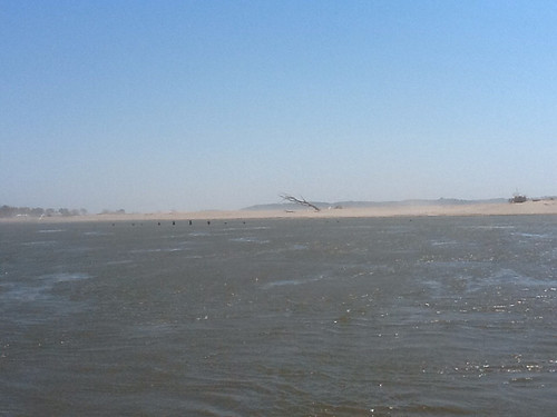
We saw the sights of Omaha and then settled in for many miles of sameness -- the riparian strip always dominated by cottonwoods, blue heron the dominant bird on the river, with occasional cranes and one snowy egret, flat open country out beyond the riverside trees. From time to time modest wooded hills would stretch out to the west or east of us. We saw large new sand islands and dunes on shore, produced by last year's flood, which created dust storms when the wind blew.
There was very little settlement along the river, and what there was bore testament to the devastating flood of last year. Clusters of low-rent houses and outbuildings were nearly always empty, with windows and doors gone, or wracked out of shape or flattened. I was too slow with my camera, but my favorite was one intact residence whose riverside wall of windows was covered with plywood sheets. Across these was the instruction, spray-painted orange: NOT ABANDONED -- KEEP OUT A**HOLES.
We pushed through the middle of the day and afternoon, past the mouth of the Platte River (thoughts of Denver and home), past Nebraska City and on the left the Iowa-Missouri line. A new affliction that was to visit us often in the coming days was the black fly. Just those little guys, but their bites on our legs really hurt. So whoever was in the passenger seat would grab off baseball cap and slap around frequently, briskly, to clear them off the inside of the windshield and out of the cockpit area. Something to do on a slow day.
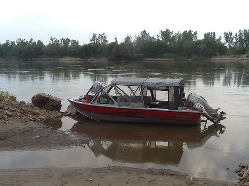
David Miller's book told us about a river camp called McAdams Landing at mile 548, which would be a good overnight stop about halfway to St. Joe. Miller had a nice visit with locals there, and we hoped to find a boat dock, some company, an outhouse, maybe some ice. We got there and there was nothing and no one, except an unoccupied new-looking travel-camper. The flood had taken out whatever facilities had existed, and in walking around it appeared that the buildings a bit upstream were not occupied. Where there had been a boat ramp had filled in with mud so there was barely room to beach the boat just clearing the fast flow of the channel. We decided to stay anyway.
As we were getting situated, tying off the boat and popping a beer in the terribly hot stillness, we were alarmed to see an upbound towboat approaching, on our side of the river. Fearing that his wake could wash us up onto the mud, we braced with paddle and boat hook as he came by. Just as he came abreast of our location, the pilot cut his speed drastically, and we held through moderate wash as he continued by. We were very relieved. Within a few minutes we went to battle stations again, as a downbound towboat came by. Happily, he also slowed as he passed, so we survived. Tying off in or near the channel is not recommended, but we didn't have much choice. We just hoped that there would be no traffic during the night.
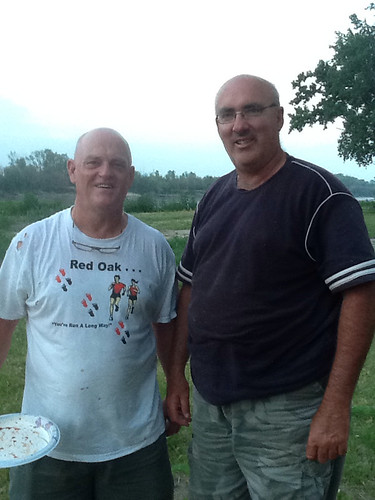
Soon we were surprised and pleased to see a car pull in above us, and soon a fellow came over and hailed us. We went up and met Terry Gillespie, the new owner of this (previously Carl Iske's) property and a dentist from nearby Red Oak, Iowa. Terry had his camper-trailer here on the river and was looking forward to doing improvements to make it something of a river-traveler friendly camping park. Soon Ed Welte, the owner of the next-door residence we'd seen, showed up.
After getting our respective suppers out of the way, we went up to the (deliciously air-conditioned) trailer and drank coffee and visited with Ed and Terry until late, talking about the river, the flood, and the history of the place. I read them Miller's warm account of his stay there some seven years earlier. Ed gave us an update, saying that Bob McAdams was pretty elderly but now living in nearby Peru, NE. Ed had been to the funerals of three of the folks David Miller had visited, including Carl Iske, Sarabeth McAdams, and another gentleman. A thought-provoking note at the end of the evening.
Day 27. After coffee with Terry we shoved off early into a beautiful morning, happy for some cloud cover. At noon we pulled into tiny Rulo, NE for ice. We got that and great burgers at Wild Bill's Bar & Grill. A couple of farmers there told us about the desperate dry spell they were having, a theme I would hear often in the coming weeks. Wild Bill's was high up the hill, unlike the very large boarded-up Camp Rulo River Club, which went under the flood. On its sign was the offer FOR SALE $25000. I don't think they will get it.
With 60 lbs. of ice we pushed on toward St. Joe, adding fuel to the boat from our gas cans. Based on the authoritative Quimby's 2012 Cruising Guide, the Sunset Grill and River Towne Resort has gas and all services except maybe dancing girls. According to our binoculars shot as we came into St. Joe, they have yellow police tape and a KEEP OUT sign decorating the main building. My first clue had been that their phone was not in service. According to the Chamber of Commerce, they have been gone for some years, even before last year's flood. And the Chamber guy's suggestion was to go to the city boat ramp or someplace and get a cab to run us to a gas station. This was not looking good. We absolutely had to be full-up with gas now, since the next advertised source would be at Columbia, MO, some 280 miles downriver.
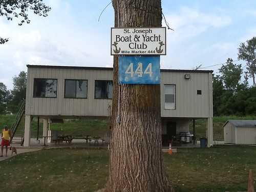
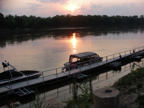
The ACE nav chart showed a St. Joseph Boating and Yacht Club a few miles south of town, so even though it was late afternoon, and their phone also was not in service, we decided to just go there and get whatever help was available (even if it was to call that cabbie). We motored down there and Whew! A boat dock, and a friendly guy coming down asking us where we're from and all that. At mile 444 the Club is alive and well.
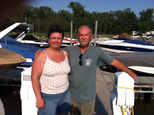
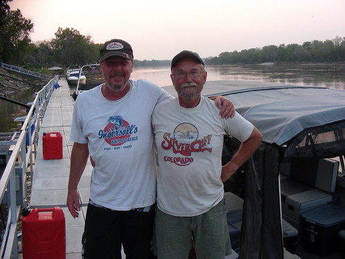
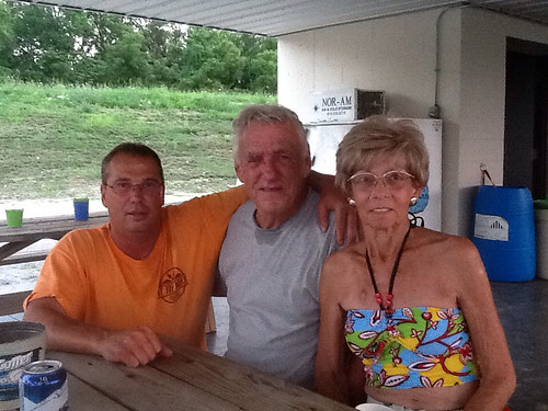
Dick Lawson got us situated, and promptly drove us 2-3 miles to a gas station where we got enough gas to fill the boat's tank. Then we settled in with Dick, his wife Susie, and fellow club board member Bruce Steltenpohl in a shady fan-cooled spot under their (new, up on stilts) clubhouse and shared some ice-cold beers and traded stories.
As soon as I wondered aloud about having enough gas for the next leg, Bruce promptly took us to the gas station again so we got all the gas cans filled. Then we continued trading stories 'til midnight with these lovely folks and other arrivals at the club.
Independent research by Randy, David and me had found no good place to tie off the boat and do the switch. Happily, David had early in the day made his way downtown, rented a bicycle, and done a several-mile reconnaissance of the waterfront, and had selected a state park boat ramp below downtown to guide us to.
Thirty miles downriver we pulled in by the boat ramp at Sibley, MO, just below what a local fellow reported as not-to-miss, the venerable Fort Osage.
We visited a bit with local young folks up at the ramp's parking lot. It was Saturday, June 30th, and July 4th festivities were getting underway. We hoped that this contact, since the boat was somewhat hidden below the bushes, would make it less likely that an errant tossed cherry bomb would explode amongst the gas cans on our bow later in the evening. We cooked and ate a lovely Pad Thai supper, washed dishes and settled in for the night.
Then yet another perfectly generous local person, we dubbed "camo guy", came slipping and sliding down the bank, not spilling a drop of his beer, and offered to go fetch, or take us to town for, practically anything we could think of. We thanked him and said we were pretty well equipped. But we learned that he was there because he and his buddies were about to launch and go Bullfrogging. We didn't know about that.
In Bullfrogging, you go toward the shore in your boat and shine a very bright light, hopefully blinding and stopping short an unwary bullfrog. While he is mesmerized, according to camo guy, you jab him between the eyes with a gig, some kind of a long-handled harpoon. Then, after some more labor-intensive steps, someone eats the frog's legs. The economics of Bullfrogging are suspect, we think. We got a good night's sleep, despite the boys just upstream doing Bullfrogging, as well as fireworks, bugs, rain, train, and Sibley power plant noise and lights.
It was the end of June, a full month since I left home. I had traveled over 1500 miles down the "Big Muddy" Missouri River, leaving a bit over 300 miles to the confluence with the Mighty Mississippi. Randy and I had had a very interesting and educational week. It was not as intense as the previous three weeks had been, but I welcomed that change. The next ten days with David promised to be interesting, and satisfying, in very different ways.
Jon, I was pointed to your blog by Bob Stevens (DesDiv 62 staff aboard USS Tattnall in 1966-68). Being a "river rat" myself (Catawba River in North and South Carolina) I am vicariously enjoying your epic river journey! Your anticipation and preparation for "what could go wrong" proves there was some payoff to mid-watches on the bridge of a destroyer. Best of luck for the rest of your voyage from an old friend,
ReplyDeletePaul Halberstadt (Missile Officer, USS Tattnall '66-68).