Who hears the rippling of rivers will not utterly despair of anything. -Henry David Thoreau

Friday, August 31, 2012

Day 62 thru Day 66

Onward to Key West

My wife Delly, her sister Cathy Peckett and I were driven to the boat in Tarpon Springs early, to make the 140-mile transit down the Florida west coast to Ft. Myers before the end of day and hopefully before any afternoon storms. We ducked into the office of Stamas Yachts and met John Stamas, who had provided a docking place for Little Sadie. We had a nice visit and saw some of John's beautiful boats, then got underway early. We had been watching the weather report, and as predicted we motored out of Anclote River into a wonderfully calm Gulf of Mexico.

Since Cathy is an experienced hand with motorboating, I let her take the helm pretty much all day. She and her husband Ray had been up and down this coast numerous times, so she knew the territory.

We made good time running down along the coast, and I was interested to see from the water the solid line of resort development along the barrier islands that border the St. Petersburg area. I knew from driving along the other side of this stretch that in general this is a very old resort area. Some of the old hotels should be in the National Register of Historic Places.

After we crossed the channel going under the Sunshine Skyway Bridge into Tampa Bay, maneuvering around behind a fast freighter making it toward the port, we continued south past Bradenton to a pass from the Gulf inside to the protected GIWW, at Longboat Key. As we made our way to a dockside restaurant for lunch, it was interesting to see dozens of boats parked in the middle of the bay along a sandbar, the people parked on their beach chairs in and out of the water. Apparently all these folks ducked out of work before Friday noon and were setting up to have a weekend beach party.

After lunch we went back out to the Gulf and ran down past Sarasota and Venice, then moved inside through another pass, and turned south on the Intracoastal Waterway. Cathy said this strategy allowed us to avoid many No Wake zones by staying outside to this point. From here we stayed in the GIWW all the way to Ft. Myers. The passage alternated between canals and bays, and we made good time. Some of the bays, such as Charlotte Harbor, were quite large, but the day marks and the route on the GPS made the channel easy to follow.

In Ft. Myers late in the afternoon, I had to decant a Jerry can into the gas tank and we got directions to a fuel dock. After refueling, we tied up at the dock at the Pink Shell, our destination hotel for the night. I was piloting the boat, and learned how powerful tides can be as I struggled to get the boat maneuvered into a slip. The Pink Shell is a very luxurious, and pricey, resort hotel, but we were celebrating this get-together after my long odyssey, and I enjoyed a little luxury after sleeping on the boat so many nights.

Cathy's husband, Ray Gadd, had driven down from Tampa and met us there. He thought the Pink Shell was trying to be a little like Disney World, with an over-the-top variety of visual features and activities. We had a nice seafood dinner in their open-air restaurant and settled in for the night. I enjoyed the view from our balcony west across San Carlos Bay toward Sanibel Island.

Day 63. The girls drove the car back to Tampa, and Ray and I headed out of the bay into the Gulf and moderately choppy seas. I programmed a waypoint into the GPS with the latitude-longitude coordinates of Captain Pip's Marina in Marathon on the keys, our destination for tonight. Ray had learned that the recommended transit was not directly to Key West, but to this point on a key about halfway between the mainland and Key West. After we got some distance away from the coast, we set a "GoTo" line from our position to the destination. This feature displays a straight line to the target on the GPS chart, and your boat is a moving icon along it. All you have to do is follow the line. Very cool, as long as it doesn't lead you over any islands. This one actually did, so we went further west and set a new course that kept us well away from the coast. Ray took the helm for most of the day, and I took pictures.

We passed Naples, Marco Island, and Cape Romano, after which there is practically no settlement along the coastline and its Ten Thousand Islands, as this stretch to the Keys is all the western limit of Everglades National Park. Soon our course took us out of sight of land.

It was interesting to see the water color change, with the sunlight and the depth. We agreed that we liked the green color that the Gulf usually presents at this latitude.

By mid-day we were still riding moderate waves, but far to the south we could see an almost unbroken line of clouds building. Ray had explained that a squall line is indicated if the bottoms of the clouds start to show a flat, continuous dark underside. I thought these were starting to do that, and I was quite concerned that this line was probably between us and the Keys.

We kept running up on plane as fast as the chop reasonably allowed. Fortunately, as the afternoon wore on, the line of clouds slowly moved off to the east. We sighted land again as we passed Cape Sable, the south westernmost extent of the Florida mainland, and entered Florida Bay. As we approached Marathon we tried following some channel markers, but eventually slowed and called Captain Pip's for directions through waters fraught with islands and shoals. Barbara, the manager there, guided us through to the harbor entrance and into the marina's docks. We had enjoyed a good day's run down the Gulf coast.

We were shown to our room in one of the guest houses, which were a little hard to navigate through among the gardens and palm trees, but charming for that reason. I felt that Capt. Pip's was a homey, old-style Florida Keys resort, and I wished I were staying longer than one night. Barbara and the guys on the dock made us feel right at home.

Ray and I had an excellent seafood dinner at the on-site open-air restaurant and settled in for the night. I checked on Little Sadie and took her picture in the failing light.

Day 64. Ray had learned that the preferred route from Marathon west to Key West was to go out into the Atlantic, because the Gulf side (referred to as "the Outback" by locals) was too cluttered with shallows and islands and shoals. We listened to the weather and it sounded like we would have 1-2 ft. waves, but from the southeast, so more or less from behind as the line of the Keys curved to the west.

I was concerned about running into shallow water along the Atlantic side. Back up in Carrabelle I had watched Capt. Bruce Peterson plotting courses on his paper charts, so I pulled out my chart book. I found that there was a handy recommended course drawn along Hawk Channel and lat-long coordinates printed at every point where this route bent progressively from south to west. I plotted these into the GPS, and we had a safe course to follow right to the turn up into the west side of Key West. Ray ran this course in good time, and we found our way to Garrison Bight (harbor) on the north side of the Key before noon.

We tied off in our slip at Key West City Marina and took a taxi to historical Old Town and our B&B hotel, Pearl's Key West.

By late afternoon Delly drove in from Tampa, with my buddy Phil Berg, who had brought my car and boat trailer to Florida from Denver (so I could trailer the boat home after completing my voyage). We gathered up Ray and walked about 17 blocks down the "main drag", historic Duval Street. Delly and I had been here about 40 years ago, and it was now much changed. Apparently largely spurred by the arrival of cruise ships, this area had become a carnival scene -- bars, restaurants, galleries, souvenir shops, consumer offerings of every description without end. I didn't care for it, particularly because there was this evening a cruise ship in port, and Duval Street was like a swarming anthill.

I was pleased to see one of the landmarks from yesteryear, Sloppy Joe's Bar. Ernest Hemingway had lived and written his best-known books a few blocks away, for a dozen years in the 1930s, and this was his watering hole. The owner, Joe Russell, was one of his best friends and deep-sea fishing buddies. I'm a life-long Hemingway fan, so I find all this very interesting.

Day 65-66. These days were just tourist days in Key West. Ray flew back to Tampa and Phil nosed around town pretty much pursuing his own interests. Delly and I did a satisfying trolley tour around the historic old town area. I was interested to learn that after a fire burned much of early Key West, the city fathers made it a law that all the buildings had to have metal roofs, and they do. Here is the view from our balcony at Pearl's.


Delly enjoyed the butterfly pavilion one afternoon while I worked on the next leg of the trip. She also drove up to the next key and went through the botanic gardens. One day we had lunch at Sloppy Joe's, and on another occasion I enjoyed some excellent key lime pie (one of my reasons for coming here, after all).

My favorite turista outing was when we toured the Hemingway home, and while the large stone house, outfitted mainly with antique Spanish furnishings, was beautiful and interesting, I liked seeing Ernest's study above the carriage-house. Kind of a shrine.

One evening before supper Delly, Phil and I went up on the roof of the La Concha Hotel, where folks congregate outside the rooftop bar to watch the Key West sunset. This hotel, built in 1926, is the tallest building in old town -- six stories tall. It was cloudy so the sunset was a bust, but I enjoyed the view over the city.

I was unsure about how to get back up to the mainland, out in the Atlantic or through Florida Bay on the Gulf side. Because it had been so rough coming west along the keys in the Atlantic, and every day the wind was coming from the east-southeast, I had real concern about beating against the seas all the way back along the 75 miles to Marathon. After Marathon, a well-marked Intracoastal channel goes up the inside, along the keys in Florida Bay, and would be no problem. However, on the Gulf side from Key West to Marathon the chart indicated that one would have to make a wide circle to the north, to avoid all the shallows along the keys.

Here came another random guardian angel. One morning while I was puttering around on the boat, a young fellow named Tony Conner came up and remarked "That's an Alaska boat." "Oh, you know about that? Yes, it's that type." We got to talking and I asked if he did boating, and he does. I explained my dilemma, and he said "If you try and go up through the Outback (the Gulf side), you really better know what you're doing. It's a mess." After some discussion we agreed that, even though it might be rough, the best bet would be to follow my charted route along Hawk Channel in the Atlantic back to Marathon, then shift inside and go on up in the Intracoastal sheltered by the Keys. Now all we would need the next morning was not too much wind and waves.

The final leg of the trip, now that I had reached my original end-point at Key West, involved looping around south Florida and returning to Tampa to disembark there. This would mean going a third of the way up the Florida east coast to Stuart, following the Intracoastal canal across the state through Lake Okeechobee to the west coast at Ft. Myers, and backtracking up the coast to Tampa.

Months ago, when I had described my planned trip and blog to Clint Kirry, the marketing manager at Hewes Marine (the boat manufacturers), he said that he and/or the president Dave Hewes might be interested in coming along on the trip for a couple of days, to see me and the boat in action on this very unusual application. Discussion evolved to the plan that Dave Hewes would fly in to Key West from their headquarters in Colville, Washington, and accompany Phil and me on the final five-day leg of the trip.

At the end of the day Tuesday Delly and I met Dave at the airport, properly outfitted for boating, with all his gear in a large backpack (complete with fishing pole). We got Dave set up at the hotel, met Phil, and over dinner started getting acquainted with our new arrival. I outlined my in-process agenda for the next five days, requiring reaching certain objectives each day in order to put Dave and Phil on airplanes in Tampa early the morning of the sixth day. Because the first day would be a push to get out of the Keys and some distance up the coast to a marina in Miami, we planned getting underway early the next morning.


Tuesday, August 28, 2012

Day 57 thru Day 61

Big Water

Day 57. The next section of my trip, from Mobile, AL to the Tampa, FL area, would involve crossing Mobile Bay to the Gulf Intracoastal Waterway (GIWW), following it to its eastern end at Carrabelle, FL, and crossing the Gulf from that panhandle jumping-off point to Tarpon Springs, just north of Tampa. The GIWW is a system of canals and bays protected from the Gulf by barrier islands, thus a relatively comfortable transit for barge and pleasure boat traffic. My nephew Bryan Ingersoll would join me from Pensacola back to Tampa, his hometown, and I would do the first seventy-mile day to Pensacola on my own.

I said goodbye to my Australian friends Brian and Susan, who were flying home that day, and discussed the next days with Capt. Bruce, who was taking their yacht Invictus along the same route I was planning. Bruce said, about the transit to Tarpon Springs, that he'd feel better if I followed him across. The northern Gulf can get ugly, and in a hurry, he advised. I said I'd feel better too, so we agreed to meet in Carrabelle in 2-3 days.

Advised about a course to set to short-cut across Mobile Bay, and setting a GPS waypoint on the GIWW near the southeast corner of the bay (30-odd miles away), I set out in a calm morning. I ran along up on plane making good time, exhilarated to be offshore, knowing my way, on a beautiful day. I was so excited I emailed this first shot home with the subject line "Hoo Hah!".

At the south end of the bay I entered the Intracoastal and proceeded east along a sequence of alternating canals and bays.

I was happy that the GIWW was marked by dotted line on my GPS chart, because the physical markers out in the bays were often far apart and difficult to spot. But for a few NO WAKE zones in the canals, requiring idle speed, I made good time. I was to see many such zones in the coming days. The barrier islands on my right were increasingly populated with resort high-rises, but in some areas were just sand barriers.

I was looking for an eatery recommended by Elizabeth the looper called Floribama at the state line, and at one point pulled close to some young boaters on a dock and asked if I was in Alabama or Florida. "Florida -- Alabama's back that way." I said "Don't want to go to Alabama -- been there." They laughed and applauded. Easily amused. I moved on.

Bahia Mar Marina was a good place to stay overnight in Pensacola. I spent the afternoon staying relatively cool in my covered boat slip and worked on blogging and emailing. At day's end an excellent duo started singing in the open-air on-site sports bar. I enjoyed the entertainment, and continued what was becoming a nightly seafood diet. The other thing I enjoyed about the marina was watching the incredibly efficient process of moving boats between dry-storage bins in a tin building and the water. These kids had the technology.


Day 58. Bryan showed up early, and after discussing the destinations for the coming days, we set out for Panama City, some ninety water miles to the east. The day was overcast, and afternoon thunderstorms were forecast by the NOAA channel on the VHS radio. We progressed through several bays and canal stretches. On some of the barrier islands we could see trees killed by hurricanes.

Here again, the manufactured stretches of canal were referred to as "the ditch". Between the long Choctawhatchee Bay and West Bay near Panama City we motored through a long stretch of the ditch.

By the time we crossed West Bay and came into St. Andrews Bay at Panama City, a following storm overtook us. As the wind, waves and rain hit us we ducked into an unidentified boat slip along the shore, tied off, zipped up, and waited it out. I was impressed with how a storm cell could quickly boil up a relatively narrow bay. After the storm blew by we found the marina, fueled up and tied off in our slip.

We were in luck for a place to stay, because a close friend of Bryan had made his house available to us in his absence. And, the friend's mother Marian also lived in town and came and took us to the house. Then Marian further shuttled us to the store to pick up supplies and dropped us in an area with restaurants. And all this while interrupting her very lucrative run at the bingo hall!

Bryan and I ate supper twice. The first waterside spot got my vote with a dozen big oysters on the half shell for $5. The second, nearby Captain's Table, had wonderful fish dinners, and sitting at the bar we were entertained by the banter with the guys shucking oysters (dangerous pastime, I thought) and dishing up the good chow.

Our walk home took us through the city park, where we happened upon Panama City's prized four-headed Pindo Palm, the only known one in the world. Definitely worth the price of admission. It was very hot through the night, so we were thankful that the house was air-conditioned.

In the morning Marian picked us up and took us to the marina in the rain. She reported that she had returned to the bingo hall and had continued to rake in the big bucks the night before, so we didn't feel so bad about interrupting her run of luck. She also reported that the weather outlook was not good and thought we should stay over. We deliberated at the marina, but decided to push on as the rain slackened.

We ran out of Panama City through good-sized East Bay, seeming to outrun the storm cell over the town. At the east end of the bay we made our way through the longest stretch of "ditch" so far encountered in the Panhandle. During this stretch, I was pleased and puzzled to see SUPERTUG tied up along a dock. Someone yelled "JON!" as we slowed, and we swung around and came alongside. Skip and Katy greeted us and I introduced Bryan to these buddies from the Tenn-Tom. Skip said they had developed a problem with the towboat's steering, and were delayed a few days waiting on parts. We were invited to tie up and come aboard, but we begged off because we had much of the hundred-mile run to Carrabelle yet ahead of us, and an approaching storm behind.

The rain caught us by the time we came out of the canal into Apalachicola Bay and approached the little town of Apalachicola. I had set a waypoint on the coordinates of the town marina, so we pulled in there and tied up at the public dock. Since we were wet just from getting the boat secured, we zipped Little Sadie up and walked into town as the rain abated. Bryan had been here years earlier with his dad (my older brother Al), so we made our way to the Ore House restaurant to see if they still had the to-die-for buffalo wings. They didn't, but we had a good cheeseburger lunch as we dried out.

By the time we left town and ventured out into Apalachicola Bay, the wind was up, and we had a couple of hours of pitching and rolling as we made our way across that bay and up the length of St. George Sound. I was constantly thinking of my friend John William Davis's song "Hurricane", warning of death and destruction across Apalachicola Bay. This was giving us both food for thought about getting out fifty miles offshore in the Gulf in a day or two.

We motored up the river into Carrabelle in late afternoon and checked into The Moorings, where we put the boat in a slip and retired to a very nice on-site motel room. Later we walked the several-block length of town, noting the many signs of a local economy that had dried up. So many Closed and For Sale signs on businesses of all sorts. The town was almost eerily quiet. We were unable to find a place to eat, other than maybe a Subway, so we went into the town's lone watering hole, Harry's Bar, for a beer. It was an ancient place, delightfully full of character. And characters.

Joel, an enterprising pizza vendor sitting next to us at the bar, hearing our plight, offered to go back to his closed establishment, make us a pizza, and bring it to us. We agreed to an exotic type that he recommended, and off Joel went. Sure enough, in 25-30 minutes he rolled in with our pizza. It wasn't the odd one he'd suggested, but was the house "Everything" model. We were famished and thought that was just fine and tipped Joel handsomely. We took the long walk back to the marina and turned in, happy to have good beds in an air-conditioned room.

Day 60. By this time Bryan and I thought it best to take Bruce up on his offer about crossing the Gulf. So, since Invictus had not pulled in yesterday, this was a layover day in Carrabelle. One fine-looking establishment was the library, so Bryan holed up there most of the day and prepared for his upcoming opening days as a math teacher in Tampa schools. I did my usual downstream logistics and blogging, and some odds and ends on the boat -- where I got caught for the afternoon downpour.

Invictus motored in by late afternoon, and Bryan and I went aboard and visited with Bruce and Ryan, his second-in-command who had joined him in Mobile. We all found a nearby fish house that was open, and over dinner arranged to meet before daybreak and be ready to embark at first light.

Day 61. I did not sleep well anticipating this day's trip, and did not welcome the early alarm. We cleared out of the motel, pulled out of the slip, gassed up the boat, and with some final instructions and coffee, shook hands with Bruce and Ryan, and started down the river in the first dim light. The early start was to improve our odds of beating late-afternoon storms in our 160-mile passage.

We fell in line behind Invictus across the Sound and past Dog Island into the Gulf, then set a southeasterly course for Tarpon Springs. Waves were choppy, but we were making 20-23 mph and in their wake we enjoyed more rolling waves than choppy. (My GPS readout computes mph, so I don't talk about knots - nautical miles per hour. Pretty much the same, 1 kt=1.151 mph.)

Things went well until late morning, as we headed toward a very broad cloud mass, and Bruce radioed "We're gonna get wet in 7-8 miles." Bryan zipped the side panels closed all around and we went on. In a few minutes things changed rapidly. The skies darkened incredibly, heavy rain started pelting us loudly, and the oncoming waves rose to 3-4-5 feet. Invictus slowed to maybe 10 mph, but I had to slow much more, as the slamming through waves became steeper and more jolting. There was no Hoo Hah about this open water -- more like Oh Hell! I radioed Invictus "I'm losing sight of you in the rain." Bruce coached "Just keep on this heading and when you get out of it, we'll find you." They had radar.

The slamming was so intense I was concerned Little Sadie might split a seam, but Bryan was confident because these welded aluminum boats are made to go fishing in the Pacific off the Alaskan coast. We labored on for another 15-20 minutes until skies ahead started to lighten and the rain and waves started calming. At this point for the first time Bryan freed up his grip and shot a picture.

Capt. Bruce let us catch up and announced the decision to run east toward Steinhatchee, to get to shallower water and so we wouldn't be "taking it on the nose" so badly. Further, we would try to make Cedar Key for the night. To my protestation that we really kind of needed to get to Tarpon Springs, he advised "In boating in open water, you can't have a schedule -- you have to take it as it comes." Chastised, I replied "Okay. Thanks, Bruce." We'd just have to work out our downstream scheduling problems.

True enough, things were much calmer in 25 feet than in 50 feet of water, and we started making good time down the coast. After a while, though, I radioed that the slow going had used up so much gas that we were going to have to refuel from some of our five Jerry cans, and we would catch up with them. The gas tank is at the rear corner of the boat, so leaning out on the motor cuddling five-gallon gas cans in rolling choppy water was challenging. Bryan held the back of my belt and I got ten gallons decanted without dropping a gas can overboard. The operation was a success.

The instruction had been to follow course 165 degrees to catch Invictus. My too-small, mounted-crooked compass was little help, and I hadn't learned how to use the compass functions in the GPS, but I found I could line up my iPhone with the edge of the "dash" and do quite well staying on course using its compass app. We pushed as fast as we could and eventually caught sight of the yacht, and soon fell back in line.

The anticipated afternoon squalls were apparently not materializing ahead on the radar, and we were relieved when Ryan radioed that he was setting a course for Tarpon Springs. We were happy to run along at their speed in that direction. We watched thunderheads form and dissipate along the horizon, but nothing threatened for the rest of the afternoon. It was sunny and the seas were again moderately choppy.

As we approached Anclote Key, where the Intracoastal resumes heading south, Bruce said he was going to stay out in the Gulf and run on south to Clearwater. He gave us instructions about how to find the starting markers for the GIWW, we wished each other safe travels, and our courses diverged.

I had little trouble following the day marks past the inside of the Key to the turn into Anclote River, and as the sun went lower behind us, we motored the few miles up the river into Tarpon Springs. I had been there before, on other people's boats, so knew my way fairly well. The problem was to find our arranged mooring for the night.

My DuroBoat friend Larry had put me in touch with a fellow boat manufacturer in Tarpon Springs, John Stamas of Stamas Yachts. After some wandering around the channels in town, I got in touch with John by phone and he graciously guided us to his company's dock. I knew I already liked the guy. Bryan and I tied up Little Sadie and were glad to step onto dry land.

We had had a good run together, with varied experiences and an exciting day to top it off. Bryan's friend arrived and took him home, and my wife's sister Cathy arrived soon after to take me to their house. My wife Delly was simultaneously being picked up at the airport and would join us at Cathy and Ray's lovely place in nearby Land o' Lakes. Delly and Cathy and I would come back to the boat early tomorrow and continue south.


Sunday, August 26, 2012

Day 50 thru Day 56

Tombigbee to Mobile

Day 50. After cousin Michael Baskin left and we dropped Rachel at the Memphis airport, my son Adam and I drove back to Midway Marina on the Tenn-Tom Waterway at Fulton, MS. Very generously, George (the fellow on duty at the marina) loaned us his nice car so we could run the twenty miles to Tupelo and drop off the rent-a-car. Nice man. Let me comment: all down through the "deep South" I was repeatedly struck by the hospitality, courtesy, politeness, and generosity of folks we came into contact with. It was a real pleasure to me to have practically everyone I passed look me in the eye and offer some pleasantry, respond to my greeting, etc. This is not the case everywhere I go, and the difference was very noticeable.

Since it was Sunday evening, the restaurant at the marina was closed, so we cooked on the boat. Our pantry was not well-stocked at this point, but Adam cooked up some red beans and rice burritos, which really hit the spot. As it turned out, this would be the last supper cooked on the boat, because of the heat at day's end and the availability of restaurants near our docking places. Tonight it was hot into the evening, but the marina was quiet and we slept all right.

Day 51. We were already 50 miles along the Tenn-Tom, and still had 400 miles to Mobile, Alabama. Today we had an easy cruise to Columbus, MS and the river was beautiful.

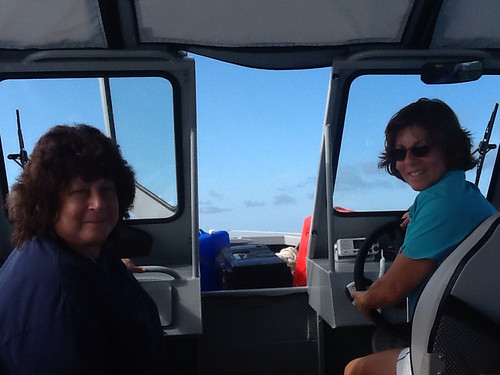
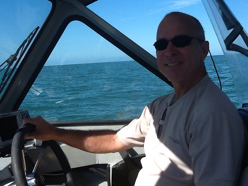
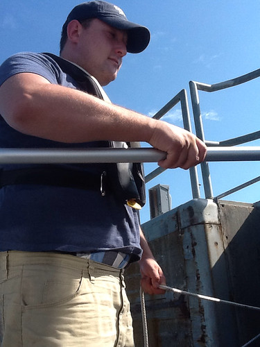
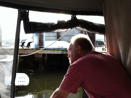
We had to go through four locks and were unsure about what delays they might present. We got out fairly early, and had only short waits at all the locks, so made good time to Columbus Marina, arriving early afternoon. Adam took the helm most of the way, and became a proficient deckhand in the locks.

We were greeted at the marina by T. Caldwell, the manager, who got us into a covered slip and invited us up to the store/office which was deliciously air-conditioned and had a lounge area and cold beer. We spent the afternoon visiting with T., who entertained us with tales of his Air Force time in Colorado and Wyoming, his avocation as a competitive barefoot water skier (new one on me) and other tales. T. And his assistant Jimmy run a clean, efficient, well-maintained marina and they're good company. We enjoyed the stay.

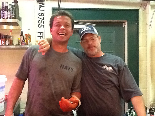
Some days earlier I had gotten a call from another of my WMA high school classmates, Loren Horn, in Tuscaloosa, AL, and we had arranged to meet in Columbus. Again, this was a first contact after 49 years, but living four years in a military boarding school makes pretty strong bonds. Loren came and picked us up and we had a great visit over dinner in Columbus. He retired after a career in the Marines, and then retired again after a career in the aerospace industry. Hopefully I will see him again next year at the 50th reunion. (50th reunion?? How the hell did that happen??)

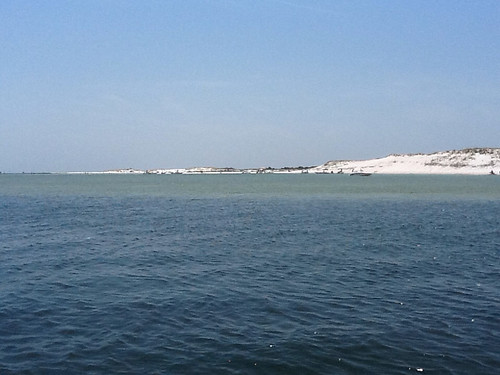
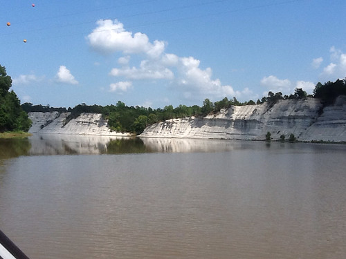
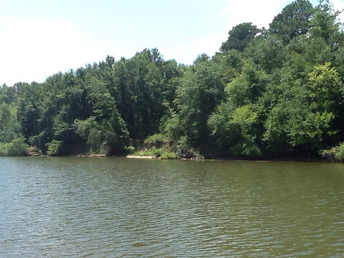
Day 52. By this point on the Tenn-Tom, ACE had started dredging out the original channel of the narrow Tombigbee River as much as possible, and were only cutting a new straight stretch through the forest where the river was too tightly serpentine for reasonable navigation. We saw these spots, on the chart and along the river, where oxbow side channels departed and entered the waterway. All along, there was very little of interest to look at. T. Caldwell at Columbus had warned us that "Up here you have some homes along the river from time to time, but further down, nothing but trees for days." During this day the river wandered across the border into western Alabama, and T's prediction was more and more correct.

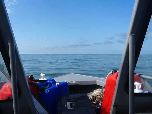
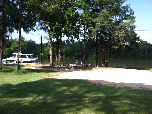
The river continued to be all ours, but for an occasional fisherman along the bank, and two towboats. We passed through a few more locks without issue, and by late afternoon were happy to finish a 120-mile cruise and pull into the Demopolis (AL) Yacht Basin. There are not many places to stay along the Tombigbee, and this is the second of three along the 335 miles between Columbus, MS and Mobile, AL. You are kind of "out there" -- but not "out there" like you are on the Missouri River in Montana, I reminded myself.

Because, of course, it was impossibly hot and humid and the marina had no "customer area", we fueled up, secured the boat in a covered slip, and repaired to the on-site restaurant/tavern. During happy hour we got into a very interesting conversation with Jim Goodreau, a local fellow at the bar.

Jim had gone to the NASCAR races at Talladega numerous times, and had gotten mobile-camping sites inside the track. The tales he told were very amusing -- crazy folks running around there. The tales he told of a hurricane slamming his town down along the Florida panhandle, and damaging boats people had brought seventy miles up the Tombigbee to escape the storm, were all but amusing. I'm glad I live in Colorado. Jim was good company. After we had dinner and the evening had cooled slightly, we went back to the boat.

As we were setting up our bunks, we noticed a few little brown ants filing along the gunwale. We brushed them off and I thought "Okay, somewhere along the way we've picked up some ants. We'll see if they become a problem." I think we established that they didn't seem to bite, and they weren't very numerous. We went to bed. It was hot.

Day 53. Imagine my surprise, as I quietly crept out to the bow the next morning and found it fairly swarming with little brown ants! I stepped off onto the dock and looked at the stern line, where we had trussed up the side of the boat snugly against the dock bumper. The line tying us there was covered with ants, scurrying back and forth. They were coming aboard from here!! I cast off the stern line, leaving us secured at the bow, which line did not yet show a brown parade coming down its three feet to the boat. It would shortly.

I thought it was interesting that, when I asked in the office/shop about borrowing a courtesy car to go out and buy ant spray, they had Raid on the shelf right there. A known issue. I went back to the boat and Adam was up. His Therma-Rest pad lies on the deck, but he hadn't gotten bitten during the night. At least that was a good thing about our little brown stowaways. We recognized a serious management problem now. We could not spray anything we would be handling (lines, etc.) because the danger of getting Raid in our eyes, etc. would be too great. We did a little spot-spraying and set about getting out of there as fast as possible.

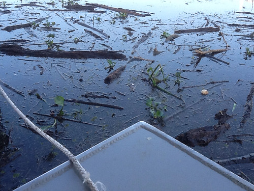
But, that brought up another issue. We were at the end of the row of slips, next to the shore, and for some reason every bit of driftwood in the marina basin had drifted over in front of us during the night. This was a logjam, with logs up to 5-6" thick.

After Adam shoved some bigger ones aside, I gunned and then stopped the engine. We lurched out of the slip and coasted through the debris (which could have damaged a churning propeller), floating clear. As we pulled out onto the river and headed south with our hundreds (thousands?) of new passengers, we did not have a very glowing memory of Demopolis Yacht Basin.

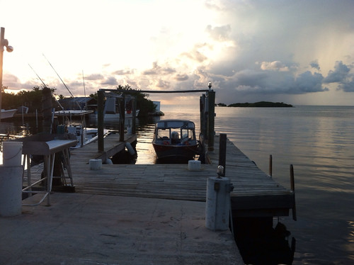
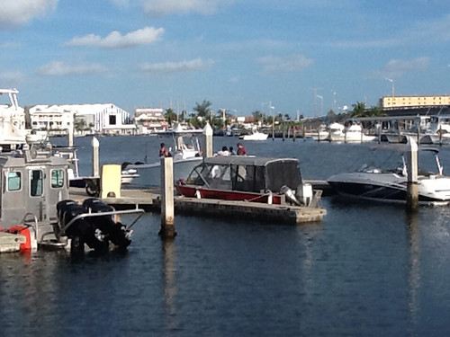
The only haven for boaters in the last 218 miles from Demopolis to Mobile is Bobby's Fish Camp, about 100 miles down the line. It's just about the only sign of civilization through that stretch, as I recall. We had called and reserved a small cabin there, so went through the last Tombigbee lock and ran the hundred miles by early afternoon. Bobby's is an interesting spot, with a dock running maybe 150' along the river bank as the total accommodation for boats. If there are too many boats, they then double-park, one tying off outboard of another, their fenders and good graces making this a workable deal. Actually, a sign in the office prohibits tying up more than four abreast! It would block too much of the river.

As soon as we tied up and checked in, we removed all the storage boxes, coolers, etc. from the boat and laid a heavy stream of Raid around the perimeter of the deck area. Ants had not gotten into food, though they were in the storage boxes. Thank goodness for zip-lock bags. We closed up the boat to fumigate, as we had a cabin to go to for the night.

Lora Jane Dahlberg McIlwain runs Bobby's. Bobby was her dad who ran the place all his life and passed away a couple of years ago. Her great-grandfather started the business in the 1880s as a place for steamboats to refuel, presumably with wood. What a tradition. Lora Jane runs a good operation. There is a sign as you come off the dock prohibiting a list of activities, ending with "Bad Behavior". Among their claims to fame is Best Catfish in the Southeast, but this was a Wednesday night and the catfish were off on Wednesdays.

As the afternoon wore on, four sizable yachts pulled in to the dock, and Little Sadie had just room to tie up at the narrow downstream end, where she was politely bumped to make room for the yachts. One of the others was outboard of a second one. We got to visiting with the folks on two of them. Janet and Harold Creel's boat "Bucket List" is from Merritt Island, Florida.

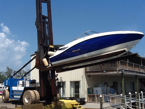
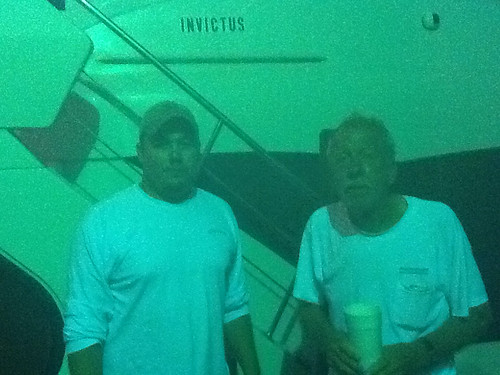
The other yacht, "La Marie", is owned by Brian Morisset and Susan Fisher of Adelaide, Australia. The boat's master is Capt. Bruce Peterson, whose boat services business Yacht-Pro is out of Aventura, Florida. The three of them were taking La Marie (soon to be re-christened "Invictus") from its previous owner in Chicago to Mobile. Then the owners would fly home to Australia, and Bruce and a first mate would take the yacht to Ft. Lauderdale for painting, then to Savannah, GA where it would be loaded onto a ship and taken to Australia. Bruce will fly there to meet it in Melbourne, and he will pilot it a thousand miles down the coast to Adelaide. I know, and the answer is: They don't make boats like this in Australia! It is an absolutely gorgeous 58' craft, and Adam got a distant shot of it before other boats had come in to dock.

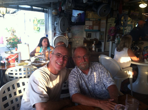
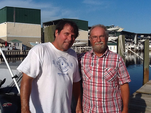
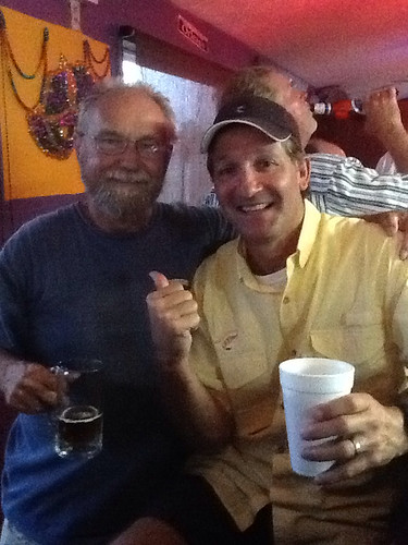
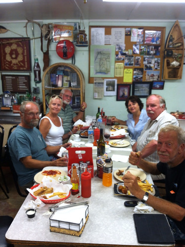
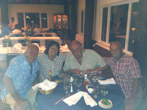
Capt. Bruce prevailed upon Lora Jane, and she and her assistant opened up the kitchen, feeding the crews of Bucket List, Invictus, and Little Sadie our fill of The Best Catfish in the Southeast. And it really may be that. So good. Adam got the group: Jon, Janet, and Harold on the left, Susan, Brian, and Bruce on the right.

Then all the three crews repaired to the upper deck of Invictus and sipped wine and shared stories until late evening.

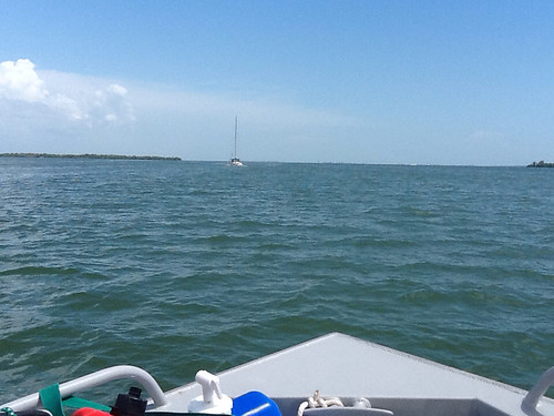
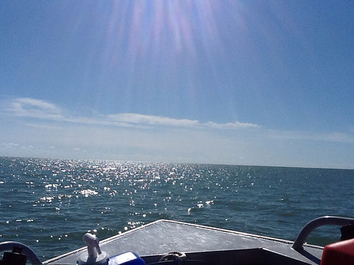
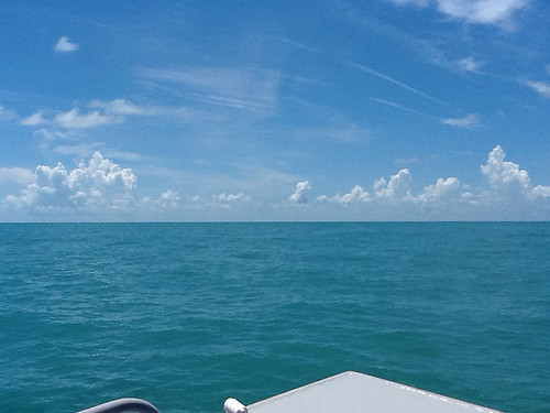
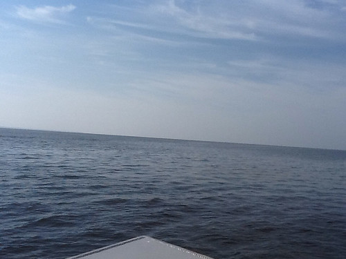
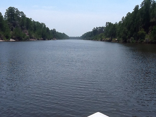
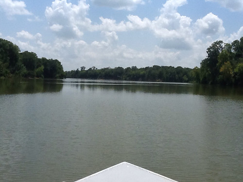
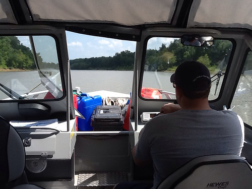
Day 54. By the time we rallied the yachts had gotten underway. We set out into the pleasant morning, again having the river to ourselves, again having nothing to look at but trees. Unlike the Missouri River country, where cottonwoods dominated the riparian strip, here the unbroken thicket was a mix of many deciduous varieties, and gave the impression that if you left the river you would be jungle-crashing through it for miles.

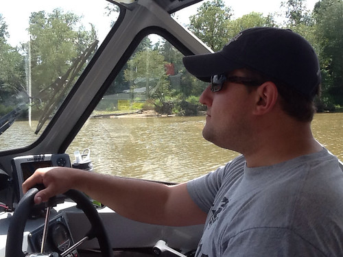
The water was calm, so we were up on plane, cruising easily at 25 mph. We each, when piloting, found it refreshing and relaxing to stand up in the open walk-through door, head and body out in front of the boat roof, enjoying the wind in the face while controlling the boat with minor flicks of the hand on the wheel. The river was a bit monotonous, but truly beautiful.


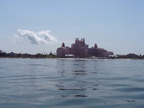
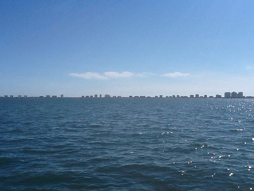
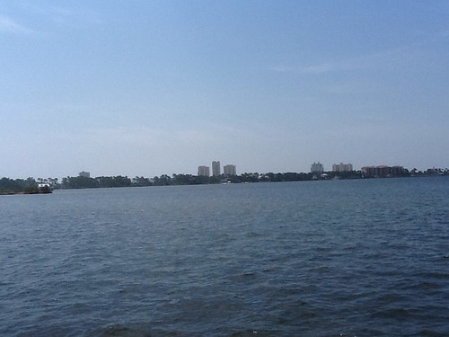
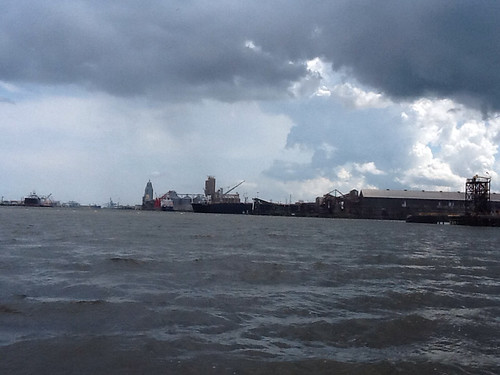
As I had read in a boating guide, the sudden shift from pristine forested river scene to industrial frontage opening to the Mobile area was a little shocking. The changing weather as we passed the downtown area was as well.


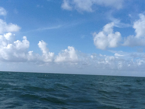
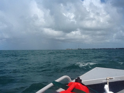
As we left the city and followed channel markers out into Mobile Bay, we could see that a large storm was overtaking us from behind. I had set a waypoint on the GPS for Dog River Marina, down the right-hand shore several miles below the city.

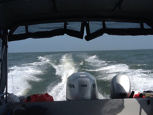
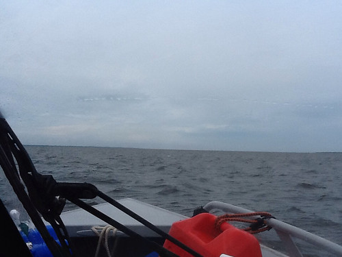
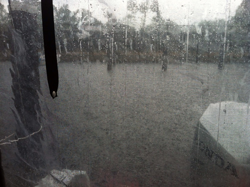
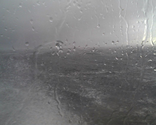
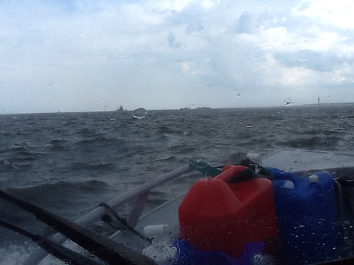
The prescribed approach was to go past that point down the main channel toward the Gulf, then turn back to the northwest and enter the mouth of the river. In this area of the bay, getting out of a channel could quickly mean running aground. Because rain and wind and waves were picking up rapidly, I elected to try a shortcut showing some depth on the chart, as an alternate access across the bay to the river mouth. We followed the line on the GPS and the depth gauge intently for fifteen minutes, bouncing in two-foot waves and heavy rain and depth hovering at 4-1/2 feet with momentary dips, and we were very quiet. Then we were through the shallows, joined the channel into the river, and were much relieved to pull into the marina, albeit in a downpour.

Dog River Marina is a good place to stay, and Little Sadie was set up in a covered slip now for three nights. With some coaching from another boater we tied the boat so it would properly handle tides, which was an issue for the first time. If the dock doesn't float and you tie up too tightly, then you can have problems with the water level rising or falling, sometimes a couple of feet or more -- potentially tipping your boat over. We teamed up again with the Invictus trio, as we knew they were also going to stay here for a few days. We continued to get to know the Aussies Susan and Brian and the Floridian Bruce over dinner at the nearby yacht club that looked out over Mobile Bay.


We turned in for the night on the boat, but during the night Adam had to rearrange his bed because the fumes from the Raid had not dissipated yet. It was hotter and muggier than ever.

Days 55-56. We spent a lazy Friday and Saturday around the marina, I doing laundry, housekeeping, blogging, and making arrangements with downstream crew members and places to stay. And, we spent time relaxing and reading in the shade and breeze on the office/store porch, where we also enjoyed lots of stories offered by the manager Ricky, about the marina, boats and boaters, and many things. We also spent time on the boat and were happy for a covered slip during the daily afternoon downpour.

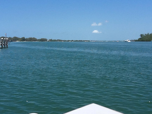
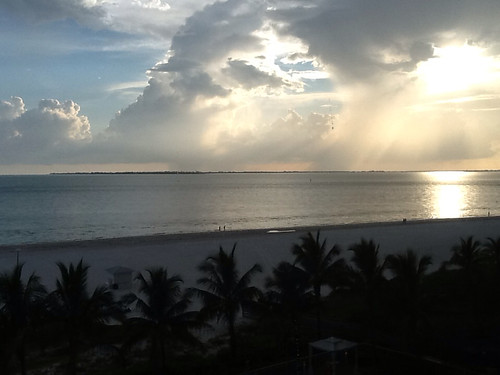
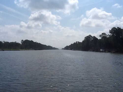
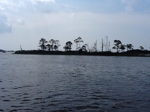
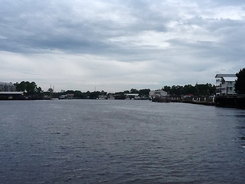
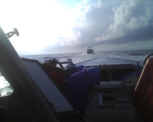
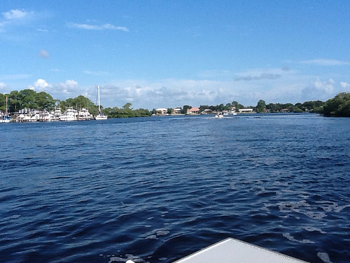
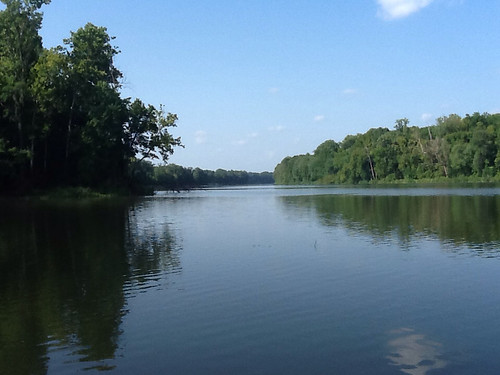
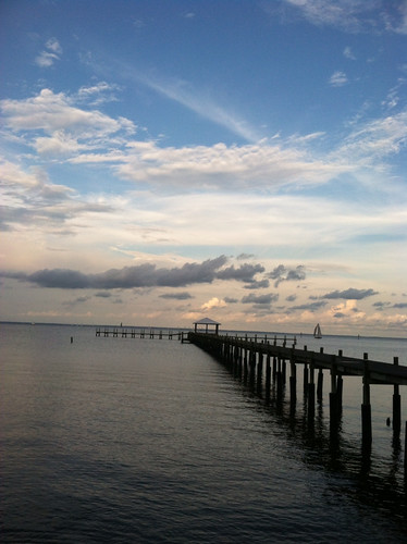
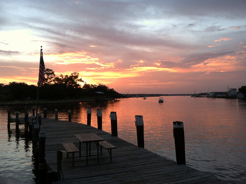
Friday evening we went with the Invictus folks across the river to The River Shack, which was an excellent no-frills fish place. Adam caught this evening view up the river from the Shack.

Saturday afternoon Adam said goodbye to our fellow travelers and I took him to the airport. We got the Tenn-Tom week done on schedule, and got him home to Denver in time for his first anniversary on Sunday. It was a fine and memorable week.

After I returned to the marina I enjoyed the company of the Invictus folks at dinner, and then I returned to the boat to get ready for an early departure south across Mobile Bay. I was a little concerned but mostly excited, to be venturing out into such a big open body of water, and going alone.